Pict1_working meeting

Creation of a digital 3-dimensional model

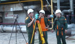
TogliattiKauchuk Plant – Togliatti, Russia  Laser scanning as a method of storage of spatial information is used in various economic sectors. In this article, we will focus on laser scanning for industrial design, or more pr...
by Lamouchi Helmi
0


téléchargement

Learn to Use Esri’s Collector for ArcGIS on Your Smartphone

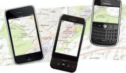
You can work with maps in the field using Esri’s Collector for ArcGIS app on your iPhone or Android smartphone. You can also use maps to capture spatial and tabular data with the phone’s GPS or by tapping on the map...
by Lamouchi Helmi
0


p3-gulfstream

AeroMetric Announces New High Accuracy Mapping Solution

Sheboygan, Wisconsin, May 23, 2013 – AeroMetric announced the addition of a new High Accuracy Mapping Solution for its clients. The new solution is designed to obtain tight vertical accuracy and highly detailed imagery...
by Lamouchi Helmi
0


746080main1_Graham_latest_226

NASA and Amateur Radio Operators Piece Together the PhoneSat Picture

Although the ultimate goal of the PhoneSat mission was to determine whether a consumer-grade smartphone can be used as the main flight avionics for a satellite in space, the three miniature satellites (named Alexander, Graham a...
by Lamouchi Helmi
0


19860728

New Public Application of Landsat Images Released

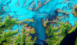
Google released more than a quarter-century of images of Earth taken from space Thursday compiled into an interactive time-lapse experience. Working with data from the Landsat Program managed by the U.S. Geological Survey, the ...
by Lamouchi Helmi
0


sig_

Geographic information system

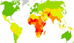
Geographic information system (GIS) is a system designed to capture, store, manipulate, analyze, manage, and present all types of geographical data. The acronym GIS is sometimes used for geographical information science or geos...
by Geo-SP
0