Archive for April 2024


téléchargement

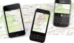
Learn to Use Esri’s Collector for ArcGIS on Your Smartphone

You can work with maps in the field using Esri’s Collector for ArcGIS app on your iPhone or Android smartphone. You can also use maps to capture spatial and tabular data with the phone’s GPS or by tapping on the map...
by Lamouchi Helmi
0


p3-gulfstream

AeroMetric Announces New High Accuracy Mapping Solution

Sheboygan, Wisconsin, May 23, 2013 – AeroMetric announced the addition of a new High Accuracy Mapping Solution for its clients. The new solution is designed to obtain tight vertical accuracy and highly detailed imagery...
by Lamouchi Helmi
0


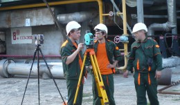
Pict1_working meeting

Creation of a digital 3-dimensional model

TogliattiKauchuk Plant – Togliatti, Russia  Laser scanning as a method of storage of spatial information is used in various economic sectors. In this article, we will focus on laser scanning for industrial design, or more pr...
by Lamouchi Helmi
0