The second Scientific Congress of the Desert Studies Center: Anabar University/ Iraq December 24 to December 26, 2012 The Desert Studies Center in Iraq organizes the second scientific congress from December 24 to December 26,...
Geographic information system (GIS) is a system designed to capture, store, manipulate, analyze, manage, and present all types of geographical data. The acronym GIS is sometimes used for geographical information science or geos...
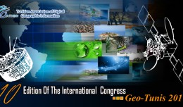
Director General of The Royal Jordanian Geographic center Dr. Dean. Engineer Director General Ouni Hdhawna was chosen as a member of the scientific council of the international congress Geotunis 7thedition which will be held fr...
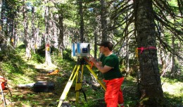
Sheboygan, Wisconsin, May 23, 2013 – AeroMetric announced the addition of a new High Accuracy Mapping Solution for its clients. The new solution is designed to obtain tight vertical accuracy and highly detailed imagery...
18 December 2012, Rome - The global forest products industry is slowly recovering from the economic crisis, with the Asia-Pacific region and particularly China taking the lead. New data published by FAO indicate that on avera...
Within the framework of his visit, Dr. Mohamed AYARI, president of the Tunisian Association of Digital Geographic Information and president of the Euro-Arab Union of Geomatics, paid a visit to the University of Takrit where he ...
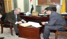
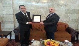
At the beginning of his visit to Iraq, Prof. Mohamed AYARI, president of the Tunisian Association of Digital Geographic Information and president of the Euro-Arab Union of Geomatics met, Mr. Tourhan Almoufti, the Iraqi Minis...
Google released more than a quarter-century of images of Earth taken from space Thursday compiled into an interactive time-lapse experience. Working with data from the Landsat Program managed by the U.S. Geological Survey, the ...
You can work with maps in the field using Esri’s Collector for ArcGIS app on your iPhone or Android smartphone. You can also use maps to capture spatial and tabular data with the phone’s GPS or by tapping on the map...
The President of the Tunisian Association of Digital Geographic Information, Mr. Mohamed AYARI with a delegation from the Association visited Algeria from December 09 to December 15, 2012. The travel included a visit to a numbe...
 English
  Français
  العربية