Abstract
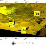
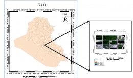
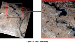
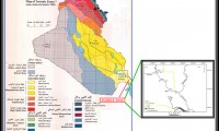
Visible-Near infrared spectroscopy is nowadays recognized as a promising tool for predicting soil properties. In Djerid arid area (5600 km², south westeren Tunisia), Our purpose was to compare total carbon prediction performance of two calibration procedures : “local” versus “regional”. Within Djerid three spatially distinct sites, to, covered by three QuickBird satellite images (Shamsa : 2800 ha, Oudia : 2800 ha and Oung : 2548 ha), we have collected respectively 30, 29 and 30 samples according to a parsimonious sampling strategy that integrated QuickBird images data. Principal component analysis were applied for each dataset to explore samples variabilities. Then, three local models and one regional model were calibrated respectively, based on samples collected in each site and on samples collected in the three sites once gathered in one regional dataset. Local models were effective for the first two sites and poor for the third. Besides, performances declined noticeably when a local model was used to predict samples collected on the two other sites what testifies a limited geographical robustness of these local models.The regional model was acceptable. Its quality can be improved once recalibrated on larger samples set collected from further Djerid sites.
Key words: spectroscopy, arid region, local model, regional model, total carbon, QuickBird.
 English
  Français
  العربية


