6 November 2012

Satellite Tech-Identification of Groundwater Offshore Springs in Red Sea along Jeddah-Rabigh Costal Belt: A Case of Fault-Zone-Aquifers in Crystalline Rocks of Arabian Shield

Abstract

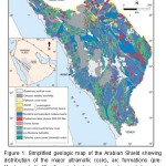
Simplified geologic map

Tectonically, the western region of Saudi Arabia is the eastern part of the rifted Nubian Shield that is known as Arabian Shield mainly comprising of the Precambrian to the Achaean rocks. Development of the alluvial cover or the younger sedimentary rocks is poor. In this part of the country, the main sources of water supplies are the desalination of seawater, the groundwater yielded from poorly developed thin alluvial deposits within different seasonal river (Wadi) channels and the recycled water. In spite of all efforts to improve the water supplies from these sources, the ‘water demand’ of Jeddah-Makkah and the allied urban centers is not adequately satisfied mainly because of ever growing urbanisational activities, drastic change in the lifestyle and the rapid increase in pilgrimers for Umra & Hajj. No serious attempt has so far been done to explore additional water potential from the crystalline rocks of the Arabian Shield. Direct identification of the prospective “hotspots” in crystalline shield areas is a difficult task in exploration as the exploitable water saturation is associated with the complex fault/fracture zone(s) or the weathered zones, which are generally concealed beneath the alluvial cover, thin weathered layers or the younger basalt-flows. During present study, the remote sensing analytical technique has been adopted for Identification of the offshore submarine groundwater springs along the selected coastal areas of the eastern Red Sea, which could be helpful for locating the buried pathways of groundwater discharging through the fault/fracture zone(s) from the Makkah-Jeddah-Taif land region. Preliminary remote sensing study using the Landsat7 ETM+ satellite images shows the possible presence of the groundwater discharges in the target area. The anomalous spots were observed spreading over a vast offshore area, which seem to be the manifestations of the flows of water originated on land and end up in the sea, just as rivers do – only they take a subterranean route to their destinations into the sea as invisible rivers. Based on the literature research, it is inferred that the tectonic setting of the western coast of Saudi Arabia shows favourable conditions for such phenomina. The apparent extent and amount of the groundwater arrested within the seawater indicate that the groundwater-flow has high hydraulic gradient, high secondary permeability & porosity of the crystalline rocks, and  relatively longer transport pathway from a recharge area to a discharge area. A multi-disciplinary research project is in progress for the detailed remote sensing modeling of the offshore and the on-land tectonic structures controlling the groundwater potential in the region.

Writer

Nayyer Alam Zaigham, Omar Siraj Aburizaiza, Zeeshan Alam Nayyer, Gohar Ali Mehar, Azhar Siddiq and Sabahat Noor

Nayyer Alam Zaigham, Omar Siraj Aburizaiza, Zeeshan Alam Nayyer,

Gohar Ali Mehar, Azhar Siddiq and Sabahat Noor

Unit for Ain Zubaida Rehabilitation & Groundwater Research,

King Abdulaziz University, Jeddah, Kingdom of Saudi Arabia

Full Research


2

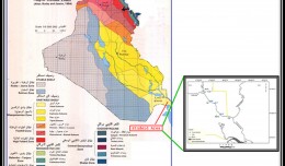
Determine the morphostructure phenomenon, East Khor Al-Zubair by Space Imageries

Dr.TorhanAlmofti *                                         Ahmed Ibrahim Saleh Al-Naemi** Abstract Through the use of satellite data taken by the Landsat satellites a color phenomenon was...
by Lamouchi Helmi
0


1

Detection and monitoring crop of wheat and barley by using NDVI stacking technique and spectral angle mapper algorithm

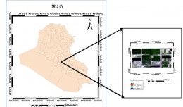
S K AAl-Hummadi[1] N S Nuaimy[2] A L Ubaidy[3] 1Ministry of science and Technology, ,Remote sensing center, Iraq E-mail: shathamaster@yahoo.com   2Ministry of science and Technology, Remote sensing center, Iraq E-mail: ade...
by Lamouchi Helmi
0


2

Tunisian economy in the face of the Covid-19 pandemic: State of play, analysis and outlook

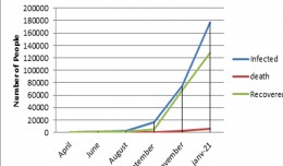
Bouzayani Rajab [1]/ Abida Zouheir[2] [1] Bouzayani Rajab : Faculty of Economics and Management of Sfax, University of Sfax – Tunisia. E-mail: bouzayanilazher@gmail.com [2] Abida Zouheir : Faculty of Economics and Mana...
by Lamouchi Helmi
0


Thumbnail.8.640.360

Reducing Total Freshwater Use in the Gold Processing Industry Using Linear Programming

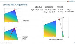
Suliman Emdini Gliwan*1 Kevin Crowe *2 *1Ph.D.Candidate, Faculty of Natural Resource Management, Lakehead University, 955 Oliver Rd, Thunder Bay, ON, Canada (P7B5E1). *2Associate Professor, Faculty of Natural Resource Managemen...
by Lamouchi Helmi
0


06-731x413

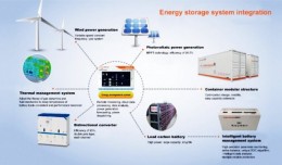
Control of a Hybrid Wind-PV and Energy Storage System

Control of a Hybrid Wind-PV and Energy Storage System Mohammed Al Busaidi, Amer Al-Hinai*, Rashid Al-Abri, Mohammed Al-Badi Electrical & Computer Engineering, Sultan Qaboos University, Oman Abstract—Distributed energy gen...
by Lamouchi Helmi
0


images

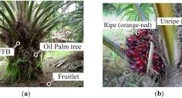
Modeling Ripeness Grading of Palm Oil Fresh Fruit Bunches through Image Processing using Artificial Neural Network

Modeling Ripeness Grading of Palm Oil Fresh Fruit Bunches through Image Processing using Artificial Neural Network Osama M. Ben Saaed1, Meftah Salem M Alfatni1,2*, Abdul Rashid Mohamed Shariff3 and Hadya S Hawedi1 1Faculty of I...
by Lamouchi Helmi
0


maxresdefault

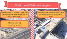
DETECTIONS OF BUILDINGSDIGITAL SURFACE MODELS DEFORMATIONS GENERATED FROM DRONES NADIR IMAGES

  DETECTIONS OF BUILDINGSDIGITAL SURFACE MODELS DEFORMATIONS GENERATED FROM DRONES NADIR IMAGES Jean A. Doumit*, Souhail F. Awad*,Evgeny N. Kiselev** *Lebanese University, Faculty of Letters and Human Sciences, Department of g...
by Lamouchi Helmi
0


Prezentacja programu PowerPoint

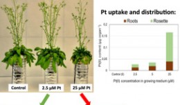
Comparative responses to cadmium toxicity of Arabidopsis thaliana mutant seedling (cad2) and wild type (col0)

Comparative responses to cadmium toxicity of Arabidopsis thaliana mutant seedling (cad2) and wild type (col0) CHAFFEI HAOUARI CHIRAZ1, SLATNI TARAK2, DJEMAL FATMA1, GOUIA HOUDA1 (Company / Faculté des Sciences de Tunis) 1Unive...
by Lamouchi Helmi
0


wwwwww

Drone base multiscale Digital Surface Models to planar areas.

Drone base multiscale Digital Surface Models to planar areas. Dr. Jean A. Doumit   Abstract The obtaining of a Digital Surface models (DSMs) at different scales and levels before the appearance of Unmanned Aerial Vehicles (UAV...
by Lamouchi Helmi
0


1

Monitoring of Mosul Reservoir Using Remote Sensing TechniquesFor the Period After ISIS Attack in 9 June 2014

Monitoring of Mosul Reservoir Using Remote Sensing TechniquesFor the Period After ISIS Attack in 9 June 2014 Lecture:  Muthanna Mohammed Abdulhameed AL Bayati University of Technology – Baghdad- Building and Construction Dep...
by Lamouchi Helmi
0


bbbbbb

TOOLS FOR A NEW URBAN AGENDA

  Tullia Valeria Di Giacomo (*); F. Paolo Di Giacomo (**) (*)Alpha Consult, Rome; (**) SOGEIT, Tunis   Keywords: GIS, WEBGIS, Urban Agenda, sustainable development Summary: Urban Authorities, civil society, businesses and kno...
by Lamouchi Helmi
0


0 comments »


Be the first to comment!


Leave a Reply

Your email address will not be published. Required fields are marked *

*

* Copy This Password *

* Type Or Paste Password Here *

You may use these HTML tags and attributes: <a href="" title=""> <abbr title=""> <acronym title=""> <b> <blockquote cite=""> <cite> <code> <del datetime=""> <em> <i> <q cite=""> <strike> <strong>