English
  Français
  العربية

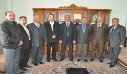
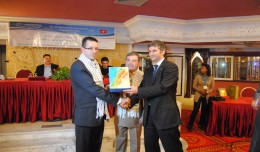
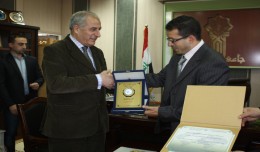
President of the Tunisian Association of Digital Geographic Information is granted the shield of the Desert Research Center
The head of the Desert Research Center at the University of Abnar, Dr. Salah Faiad, granted the center shield to Prof. Mohamed AYARI, President of the Tunisian Association of the Digital Geographic Information, at the Universit...