708622main_PressConf20121126_full_34x3_226-170

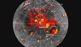
MESSENGER Finds New Evidence for Water Ice at Mercury’s Poles

Mercury’s North Polar Region Acquired By The Arecibo Observatory Full Image and Caption A Mosaic of MESSENGER Images of Mercury’s North Polar Region Full Image and Caption Permanently Shadowed Polar Craters Full Ima...
by Lamouchi Helmi
0


téléchargement

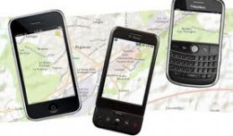
Learn to Use Esri’s Collector for ArcGIS on Your Smartphone

You can work with maps in the field using Esri’s Collector for ArcGIS app on your iPhone or Android smartphone. You can also use maps to capture spatial and tabular data with the phone’s GPS or by tapping on the map...
by Lamouchi Helmi
0


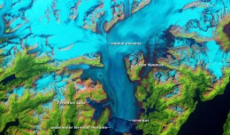
glacier-ERS1-2_1992-2011_L,0

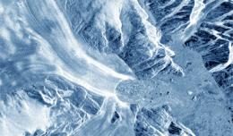
Clearest evidence yet of polar ice losses

30 November 2012 After two decades of satellite observations, an international team of experts brought together by ESA and NASA has produced the most accurate assessment of ice losses from Antarctica and Greenland to date. This...
by Lamouchi Helmi
0


image4a

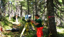
Forest products industry slowly recovers from recession

18 December 2012, Rome - The global forest products industry is slowly recovering from the economic crisis, with the Asia-Pacific region and particularly China taking the lead. New data published by FAO indicate that on avera...
by Lamouchi Helmi
0


Untitled-2

NASA Finds 2012 Sustained Long-Term Climate Warming Trend

NASA scientists say 2012 was the ninth warmest of any year since 1880, continuing a long-term trend of rising global temperatures. With the exception of 1998, the nine warmest years in the 132-year record all have occurred sinc...
by Lamouchi Helmi
0


19860728

New Public Application of Landsat Images Released

Google released more than a quarter-century of images of Earth taken from space Thursday compiled into an interactive time-lapse experience. Working with data from the Landsat Program managed by the U.S. Geological Survey, the ...
by Lamouchi Helmi
0


images

PCI Geomatics Software Supports KOMPSAT-3 Sensor

RICHMOND HILL, Ontario, Canada, May 03, 2013 – PCI Geomatics, a world-leading developer of remote sensing and photogrammetric software and systems, announced today that it now supports KOMPSAT-3 imagery within its softwa...
by Lamouchi Helmi
0


sig_

Geographic information system

Geographic information system (GIS) is a system designed to capture, store, manipulate, analyze, manage, and present all types of geographical data. The acronym GIS is sometimes used for geographical information science or geos...
by Geo-SP
0


Alphasat_1-XL_large

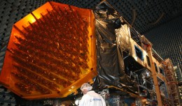
Alphabus/Alphasat

ARTES 8 Alphabus/Alphasat is dedicated to the development and deployment of the Alphasat satellite. Alphasat is being built in partnership between ESA and European operator Inmarsat by Astrium. It is the first satellite to us...
by Lamouchi Helmi
0