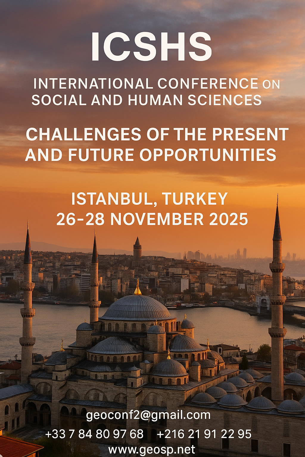
Precision Technologies Role in the Study of Climate Change Impact

The Second session of the International Symposium Precision Technologies Role in the Study of Climate… .

Precision Technologies Role in the Study of Climate Change Impact Precision Technologies Role in the Study of Climate Change Impact

5th International Conference on Water, Energy, Food and Agricultural Technology Istanbul, Turkey, 22-25 January 2019

5th International Conference on Water, Energy, Food and Agricultural Technology Istanbul, Turkey, 22-25… .

5th International Conference on Water, Energy, Food and Agricultural Technology Istanbul, Turkey, 22-25 January 2019 5th International Conference on Water, Energy, Food and Agricultural Technology Istanbul, Turkey, 22-25 January 2019

10th edition of the International Congress & technologies dedicated to geospatial applications

The Geographic Information Systems and Geospace Data for sustainable development            … .

10th edition of the International Congress & technologies dedicated to geospatial applications 10th edition of the International Congress & technologies dedicated to geospatial applications

Information Technology Infrastructure Library

Information Technology Infrastructure Library ITIL Oldo-lina Foundation for the French East development… .

Information Technology Infrastructure Library Information Technology Infrastructure Library

WEAP’s new version is launched

WEAP (Water Evolution and Planning) has been looking for solutions to preserve fresh water and developing… .

WEAP’s new version is launched WEAP’s new version is launched

Signing a collaboration protocol between the Euro-Arab Union of Geomatics and the Arab Union of Survey

A collaboration protocol was signed on Wednesday morning May 15,2013 inthe Euro-Arab Union of geomatics… .

Signing a collaboration protocol between the Euro-Arab Union of Geomatics and the Arab Union of Survey Signing a collaboration protocol between the Euro-Arab Union of Geomatics and the Arab Union of Survey

7th edition of Geotunis closes its activities and announces its recommendations

The 7th edition of the international congress Geotunis which was opened on April 8 closed its activities… .

7th edition of Geotunis closes its activities and announces its recommendations 7th edition of Geotunis closes its activities and announces its recommendations

Tunisian security institution participates in the activities of the 7th edition of Geotunis

Regarding the importance of geographic information in the improving the security performance, the Tunisian… .

Tunisian security institution participates in the activities of the 7th edition of Geotunis Tunisian security institution participates in the activities of the 7th edition of Geotunis
Advertisement


Pict1_working meeting

Creation of a digital 3-dimensional model

TogliattiKauchuk Plant – Togliatti, Russia  Laser scanning as a method of storage of spatial information is used in various economic sectors. In this article, we will focus on laser scanning for industrial design, or more pr...
by Lamouchi Helmi
0


bbbbbb

TOOLS FOR A NEW URBAN AGENDA

  Tullia Valeria Di Giacomo (*); F. Paolo Di Giacomo (**) (*)Alpha Consult, Rome; (**) SOGEIT, Tunis   Keywords: GIS, WEBGIS, Urban Agenda, sustainable development Summary: Urban Authorities, civil society, businesses and kno...
by Lamouchi Helmi
0


basrahuniv (Large)

University of literature of Basra holds its 5th edition of the Scientific Congress

  Geo SP has been informed that the University of Basra in south of Iraq is preparing the 5th edition of its scientific congress in mid spring 2013. The congress which will be sponsored by the president of the University o...
by Lamouchi Helmi
0


1367507172iPad5

Google Maps for iPad Has Mileage with Latest EggMaps Update

PERTH, Australia, May 6, 2013 — (PRNewswire) —  Mike Cunneen today announces EggMaps HD 1.05, an update to his popular #1-ranked navigation app for iPad that provides Google Maps at full-screen high resolution. Version 1....
by Lamouchi Helmi
0


705907main_IMAGE5-SecondaryMirrorSMALL_946-710

A Clear Reflection on Webb Telescope’s Secondary Mirror

          The sole secondary mirror and another primary mirror that will fly aboard NASA’s James Webb Space Telescope arrived at NASA’s Goddard Space Flight Center in Greenbelt, Md., on Nov....
by Lamouchi Helmi
0


DSC_0391

7th edition of Geotunis closes its activities and announces its recommendations

The 7th edition of the international congress Geotunis which was opened on April 8 closed its activities on Friday, April 12 2013. The congress gathered the academic, training and investment aspects thanks to the remarkable int...
by Lamouchi Helmi
0


téléchargement

Learn to Use Esri’s Collector for ArcGIS on Your Smartphone

You can work with maps in the field using Esri’s Collector for ArcGIS app on your iPhone or Android smartphone. You can also use maps to capture spatial and tabular data with the phone’s GPS or by tapping on the map...
by Lamouchi Helmi
0


DSC_0103

The Tunisian Association of Digital Geographic Information participates in the second scientific congress of desert studies

The Tunisian Association of Digital Geographic Information participates in the second scientific congress of desert studies in the Anbar University 24- 26 April 2013, the congress will be held under the slogan “scientific res...
by Lamouchi Helmi
0


06-731x413

Control of a Hybrid Wind-PV and Energy Storage System

Control of a Hybrid Wind-PV and Energy Storage System Mohammed Al Busaidi, Amer Al-Hinai*, Rashid Al-Abri, Mohammed Al-Badi Electrical & Computer Engineering, Sultan Qaboos University, Oman Abstract—Distributed energy gen...
by Lamouchi Helmi
0


Thumbnail.8.640.360

Reducing Total Freshwater Use in the Gold Processing Industry Using Linear Programming

Suliman Emdini Gliwan*1 Kevin Crowe *2 *1Ph.D.Candidate, Faculty of Natural Resource Management, Lakehead University, 955 Oliver Rd, Thunder Bay, ON, Canada (P7B5E1). *2Associate Professor, Faculty of Natural Resource Managemen...
by Lamouchi Helmi
0


maxresdefault

DETECTIONS OF BUILDINGSDIGITAL SURFACE MODELS DEFORMATIONS GENERATED FROM DRONES NADIR IMAGES

  DETECTIONS OF BUILDINGSDIGITAL SURFACE MODELS DEFORMATIONS GENERATED FROM DRONES NADIR IMAGES Jean A. Doumit*, Souhail F. Awad*,Evgeny N. Kiselev** *Lebanese University, Faculty of Letters and Human Sciences, Department of g...
by Lamouchi Helmi
0


1320_effects-image

Precision Technologies Role in the Study of Climate Change Impact

The Second session of the International Symposium Precision Technologies Role in the Study of Climate Change Impact and its implications on the Economic and Natural Structure: The reality and suggested solutions Istanbul, Turke...
by Lamouchi Helmi
0