International Conference on Social and Human Sciences

  International Conference on Social and Human Sciences Istanbul, Turkey | November 26–28, 2025                                … .
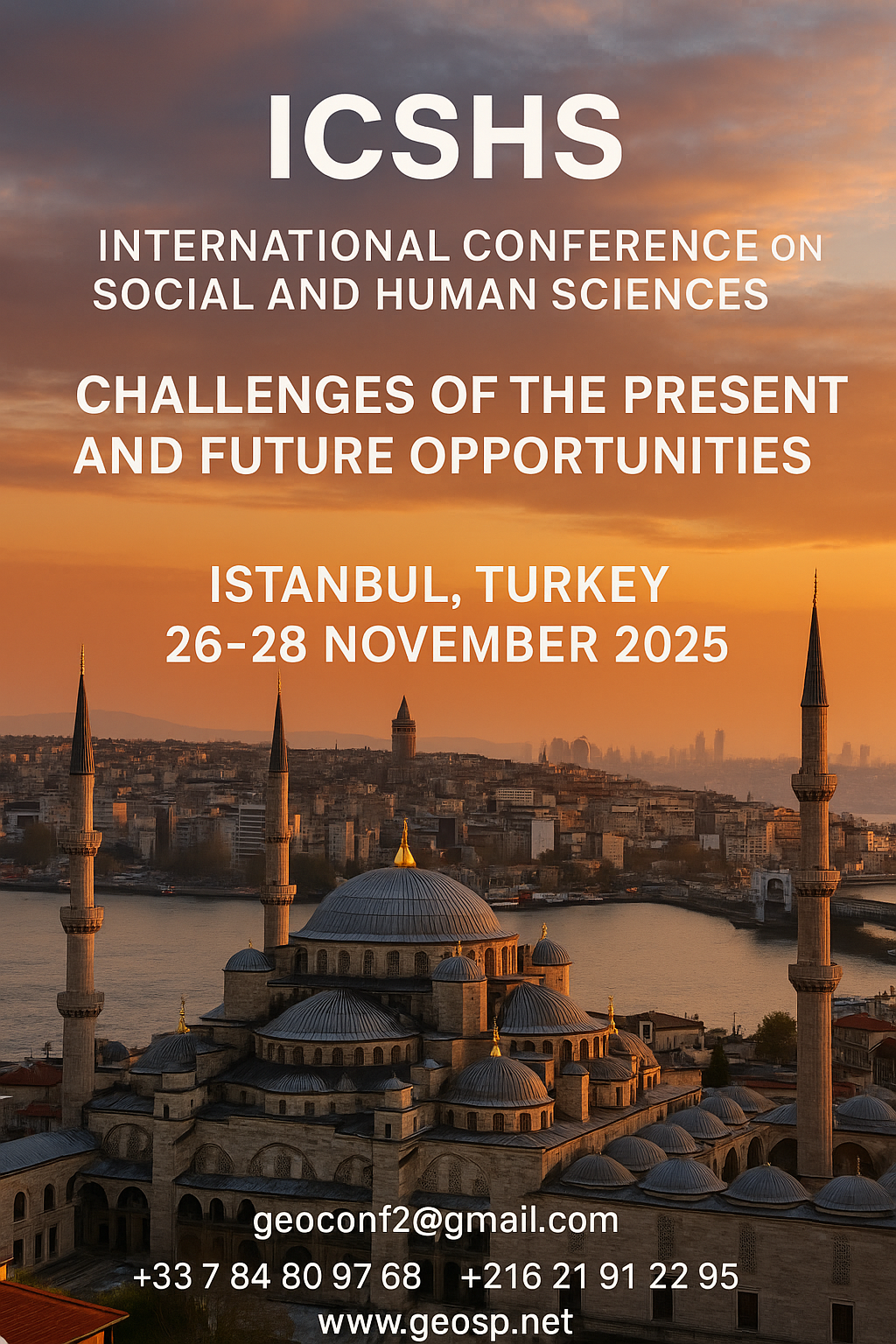
International Conference on Social and Human Sciences International Conference on Social and Human Sciences

Precision Technologies Role in the Study of Climate Change Impact

The Second session of the International Symposium Precision Technologies Role in the Study of Climate… .
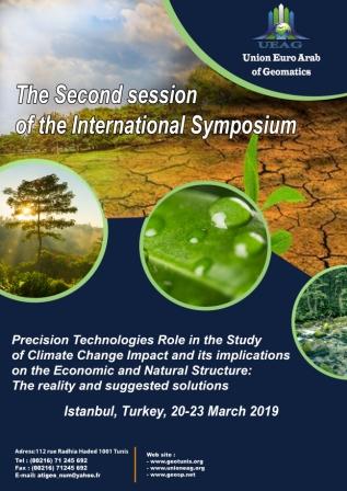
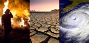
Precision Technologies Role in the Study of Climate Change Impact Precision Technologies Role in the Study of Climate Change Impact

5th International Conference on Water, Energy, Food and Agricultural Technology Istanbul, Turkey, 22-25 January 2019

5th International Conference on Water, Energy, Food and Agricultural Technology Istanbul, Turkey, 22-25… .
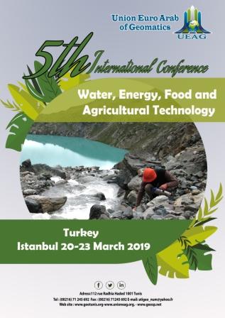
5th International Conference on Water, Energy, Food and Agricultural Technology Istanbul, Turkey, 22-25 January 2019 5th International Conference on Water, Energy, Food and Agricultural Technology Istanbul, Turkey, 22-25 January 2019

10th edition of the International Congress & technologies dedicated to geospatial applications

The Geographic Information Systems and Geospace Data for sustainable development            … .
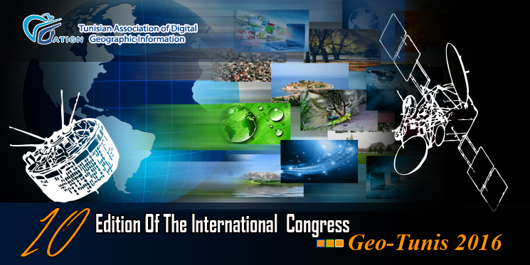
10th edition of the International Congress & technologies dedicated to geospatial applications 10th edition of the International Congress & technologies dedicated to geospatial applications

Information Technology Infrastructure Library

Information Technology Infrastructure Library ITIL Oldo-lina Foundation for the French East development… .


Information Technology Infrastructure Library Information Technology Infrastructure Library

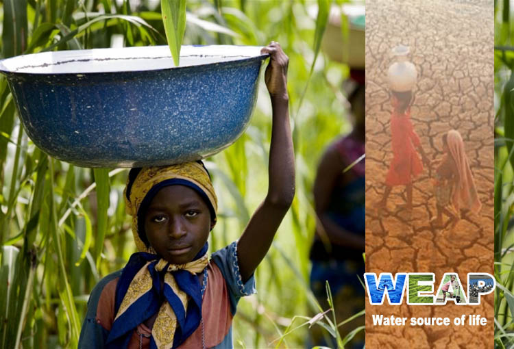
WEAP’s new version is launched

WEAP (Water Evolution and Planning) has been looking for solutions to preserve fresh water and developing… .

WEAP’s new version is launched WEAP’s new version is launched

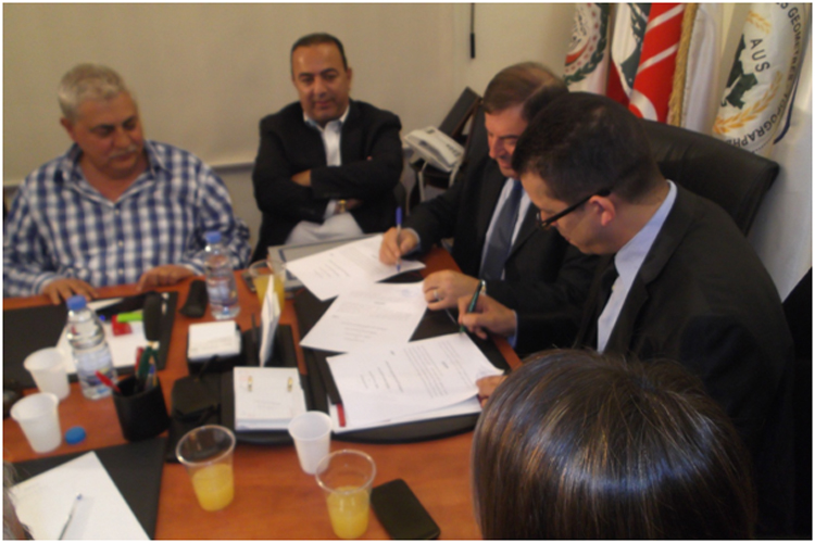
Signing a collaboration protocol between the Euro-Arab Union of Geomatics and the Arab Union of Survey

A collaboration protocol was signed on Wednesday morning May 15,2013 inthe Euro-Arab Union of geomatics… .
Signing a collaboration protocol between the Euro-Arab Union of Geomatics and the Arab Union of Survey Signing a collaboration protocol between the Euro-Arab Union of Geomatics and the Arab Union of Survey

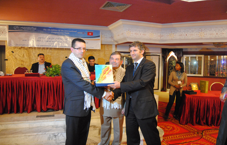
7th edition of Geotunis closes its activities and announces its recommendations

The 7th edition of the international congress Geotunis which was opened on April 8 closed its activities… .
7th edition of Geotunis closes its activities and announces its recommendations 7th edition of Geotunis closes its activities and announces its recommendations
Advertisement


sig_

Geographic information system

Geographic information system (GIS) is a system designed to capture, store, manipulate, analyze, manage, and present all types of geographical data. The acronym GIS is sometimes used for geographical information science or geos...
by Geo-SP
0


bbbbbb

TOOLS FOR A NEW URBAN AGENDA

  Tullia Valeria Di Giacomo (*); F. Paolo Di Giacomo (**) (*)Alpha Consult, Rome; (**) SOGEIT, Tunis   Keywords: GIS, WEBGIS, Urban Agenda, sustainable development Summary: Urban Authorities, civil society, businesses and kno...
by Lamouchi Helmi
0


DSC_0096And2more_fused

Algerian Geographic days: Wahran University

The Faculty of Earth Sciences Geography and Spatial Configuration,  University of Wahran, organized the 4th edition of Algerian Geographic Days on 11/12 December 2012. A number of academics, researchers, and amateurs in the fi...
by Lamouchi Helmi
0


IMG_9999

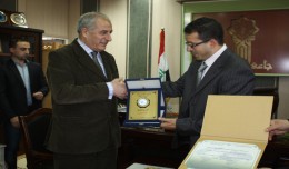
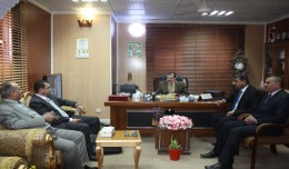
President of Tunisian Association of Digital Geographic Information is granted the scientific shield of the University of Takrit

Regarding his efforts in promoting the scientific cooperation between institutions at the Arab and International levels and the use of Geomatics technology, the president of the University of Takrit, Dr. Mzahem Kacem Alkaiat, g...
by Lamouchi Helmi
0


a3

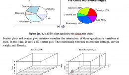
Machine Learning and Statically for Evaluating the Classification of Medical and Lab Services

Machine Learning and Statically for Evaluating the Classification of Medical and Lab Services Muna R. Harbi1,,Loay E. George2 1.Department of Physics, General Directorate of Thi-Qar Education, Ministry of Education, Thi-Qar, Ir...
by Lamouchi Helmi
0


IMG_9948

Prof. Mohamed AYARI gets the international scientific shield of the University of Anbar

As a respect of his effort aiming at enhancing the scientific exchange at the Arab and international levels, the president of the University of Anbar, Dr kalil Ibrahim, has granted Prof. Mohamed AYARI, president of the Tunisian...
by Lamouchi Helmi
0


1

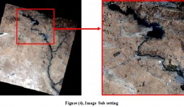
Monitoring of Mosul Reservoir Using Remote Sensing TechniquesFor the Period After ISIS Attack in 9 June 2014

Monitoring of Mosul Reservoir Using Remote Sensing TechniquesFor the Period After ISIS Attack in 9 June 2014 Lecture:  Muthanna Mohammed Abdulhameed AL Bayati University of Technology – Baghdad- Building and Construction Dep...
by Lamouchi Helmi
0


img_1322557545_891

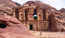
Director General of the Royal Jordanian Geographic center A member of the Scientific Council of the international congress Geotunis

Director General of The Royal Jordanian Geographic center Dr. Dean. Engineer Director General Ouni Hdhawna was chosen as a member of the scientific council of the international congress Geotunis 7thedition which will be held fr...
by Lamouchi Helmi
0


1320_effects-image

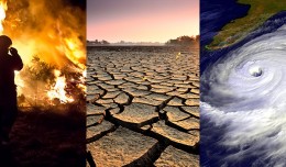
Precision Technologies Role in the Study of Climate Change Impact

The Second session of the International Symposium Precision Technologies Role in the Study of Climate Change Impact and its implications on the Economic and Natural Structure: The reality and suggested solutions Istanbul, Turke...
by Lamouchi Helmi
0


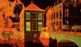
3DLaserScanning_1

History in 3D

Time travel to the past or to the future has always been the dream of humanity. We have always imagined life in the past or the future, but what would it be like if we walked around in the city Paris of 2000 years ago though a ...
by Lamouchi Helmi
0


images

PCI Geomatics Software Supports KOMPSAT-3 Sensor

RICHMOND HILL, Ontario, Canada, May 03, 2013 – PCI Geomatics, a world-leading developer of remote sensing and photogrammetric software and systems, announced today that it now supports KOMPSAT-3 imagery within its softwa...
by Lamouchi Helmi
0


news_47975_0

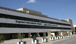
President of the Tunisian Association of Digital Geographic Association pays a scientific visit to Iraq from December 22 to December 30 2012

Dr. Mohamed AYARI, President of the Tunisian Association of Digital Geographic Information and President of the EuroArab Union of Geomatics, visited the Iraqi Republic from December 22 to December 30 2012. During this visit he ...
by Lamouchi Helmi
0