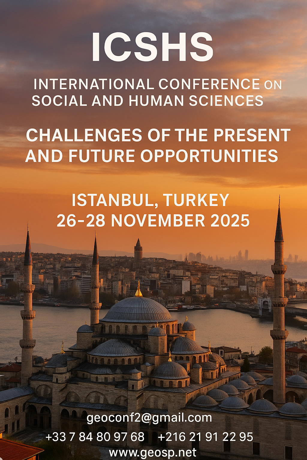
International Conference on Social and Human Sciences

  International Conference on Social and Human Sciences Istanbul, Turkey | November 26–28, 2025                                … .
International Conference on Social and Human Sciences International Conference on Social and Human Sciences

Precision Technologies Role in the Study of Climate Change Impact

The Second session of the International Symposium Precision Technologies Role in the Study of Climate… .

Precision Technologies Role in the Study of Climate Change Impact Precision Technologies Role in the Study of Climate Change Impact

5th International Conference on Water, Energy, Food and Agricultural Technology Istanbul, Turkey, 22-25 January 2019

5th International Conference on Water, Energy, Food and Agricultural Technology Istanbul, Turkey, 22-25… .

5th International Conference on Water, Energy, Food and Agricultural Technology Istanbul, Turkey, 22-25 January 2019 5th International Conference on Water, Energy, Food and Agricultural Technology Istanbul, Turkey, 22-25 January 2019

10th edition of the International Congress & technologies dedicated to geospatial applications

The Geographic Information Systems and Geospace Data for sustainable development            … .

10th edition of the International Congress & technologies dedicated to geospatial applications 10th edition of the International Congress & technologies dedicated to geospatial applications

Information Technology Infrastructure Library

Information Technology Infrastructure Library ITIL Oldo-lina Foundation for the French East development… .

Information Technology Infrastructure Library Information Technology Infrastructure Library

WEAP’s new version is launched

WEAP (Water Evolution and Planning) has been looking for solutions to preserve fresh water and developing… .

WEAP’s new version is launched WEAP’s new version is launched

Signing a collaboration protocol between the Euro-Arab Union of Geomatics and the Arab Union of Survey

A collaboration protocol was signed on Wednesday morning May 15,2013 inthe Euro-Arab Union of geomatics… .

Signing a collaboration protocol between the Euro-Arab Union of Geomatics and the Arab Union of Survey Signing a collaboration protocol between the Euro-Arab Union of Geomatics and the Arab Union of Survey

7th edition of Geotunis closes its activities and announces its recommendations

The 7th edition of the international congress Geotunis which was opened on April 8 closed its activities… .

7th edition of Geotunis closes its activities and announces its recommendations 7th edition of Geotunis closes its activities and announces its recommendations
Advertisement


a3

Machine Learning and Statically for Evaluating the Classification of Medical and Lab Services

Machine Learning and Statically for Evaluating the Classification of Medical and Lab Services Muna R. Harbi1,,Loay E. George2 1.Department of Physics, General Directorate of Thi-Qar Education, Ministry of Education, Thi-Qar, Ir...
by Lamouchi Helmi
0


glacier-ERS1-2_1992-2011_L,0

Clearest evidence yet of polar ice losses

30 November 2012 After two decades of satellite observations, an international team of experts brought together by ESA and NASA has produced the most accurate assessment of ice losses from Antarctica and Greenland to date. This...
by Lamouchi Helmi
0


Untitled-1

Signing a collaboration protocol between the Euro-Arab Union of Geomatics and the Arab Union of Survey

A collaboration protocol was signed on Wednesday morning May 15,2013 inthe Euro-Arab Union of geomatics office inBeirut,Lebanon. The protocol states the technical and scientific cooperation between academics and professionals i...
by Lamouchi Helmi
0


708622main_PressConf20121126_full_34x3_226-170

MESSENGER Finds New Evidence for Water Ice at Mercury’s Poles

Mercury’s North Polar Region Acquired By The Arecibo Observatory Full Image and Caption A Mosaic of MESSENGER Images of Mercury’s North Polar Region Full Image and Caption Permanently Shadowed Polar Craters Full Ima...
by Lamouchi Helmi
0


magn

Measuring earth’s vital magnetic field

 
by Geo-SP
0


Untitled-1

Publication in international scientific magazines and journals

Publication in international scientific magazines and journals, holding an international standard serial number has been subject for debate during the latest period. Scientists, academics and researchers are in a contentious se...
by Lamouchi Helmi
0


p3-gulfstream

AeroMetric Announces New High Accuracy Mapping Solution

Sheboygan, Wisconsin, May 23, 2013 – AeroMetric announced the addition of a new High Accuracy Mapping Solution for its clients. The new solution is designed to obtain tight vertical accuracy and highly detailed imagery...
by Lamouchi Helmi
0


images

Urgent Action Needed on Climate Change in Arab World

New report charts current and future damage from the region’s rapidly changing climate and calls for strong leadership in preparing countries and communities to face the threat      WASHINGTON, December 5, 2012 – The ...
by Lamouchi Helmi
0


téléchargement

Learn to Use Esri’s Collector for ArcGIS on Your Smartphone

You can work with maps in the field using Esri’s Collector for ArcGIS app on your iPhone or Android smartphone. You can also use maps to capture spatial and tabular data with the phone’s GPS or by tapping on the map...
by Lamouchi Helmi
0


DSC_0125And2more_fused

The President of the Tunisian Association of Digital Geographic Information visits Algeria

The President of the Tunisian Association of Digital Geographic Information, Mr. Mohamed AYARI with a delegation from the Association visited Algeria from December 09 to December 15, 2012. The travel included a visit to a numbe...
by Lamouchi Helmi
0


climate_change_0218

Climate Likely to Be on Hotter Side of Projections

        A new NASA-funded study by the National Center for Atmospheric Research, Boulder, Colo., finds climate model projections that show a greater rise in global temperature are likely to prove more accura...
by Lamouchi Helmi
0


DSC_0281

MDS, specialized in Georadar technology organizes a workshop

MDS, institution specialized in Georadar technology organized a workshop, within the framework of the 7th edition of Geotunis 8-12 April 2013. The workshop was supervised by Prof. Philippe Xavier, who presented the latest techn...
by Lamouchi Helmi
0