English
  Français
  العربية


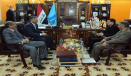
The President of the Tunisian Association of Digital Geographic Information visits Algeria
The President of the Tunisian Association of Digital Geographic Information, Mr. Mohamed AYARI with a delegation from the Association visited Algeria from December 09 to December 15, 2012. The travel included a visit to a numbe...