English
  Français
  العربية
![]()
![]()


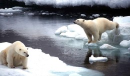
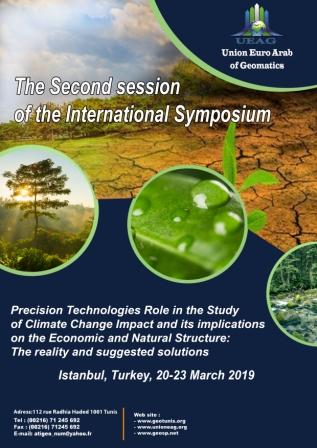
The Second session of the International Symposium Precision Technologies Role in the Study of Climate… .
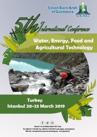
5th International Conference on Water, Energy, Food and Agricultural Technology Istanbul, Turkey, 22-25… .

The Geographic Information Systems and Geospace Data for sustainable development … .

Information Technology Infrastructure Library ITIL Oldo-lina Foundation for the French East development… .


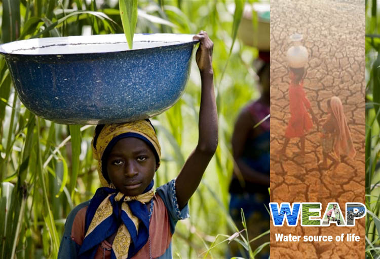
WEAP (Water Evolution and Planning) has been looking for solutions to preserve fresh water and developing… .

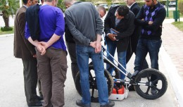
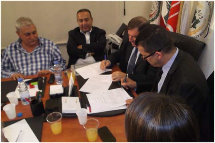
A collaboration protocol was signed on Wednesday morning May 15,2013 inthe Euro-Arab Union of geomatics… .

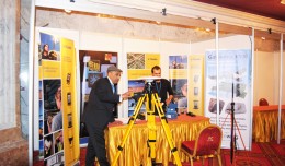
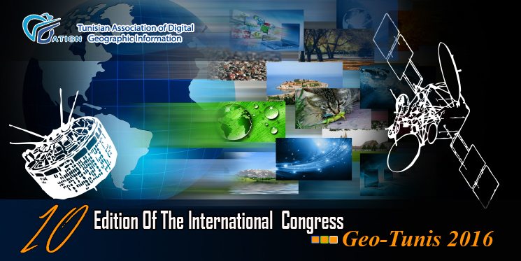
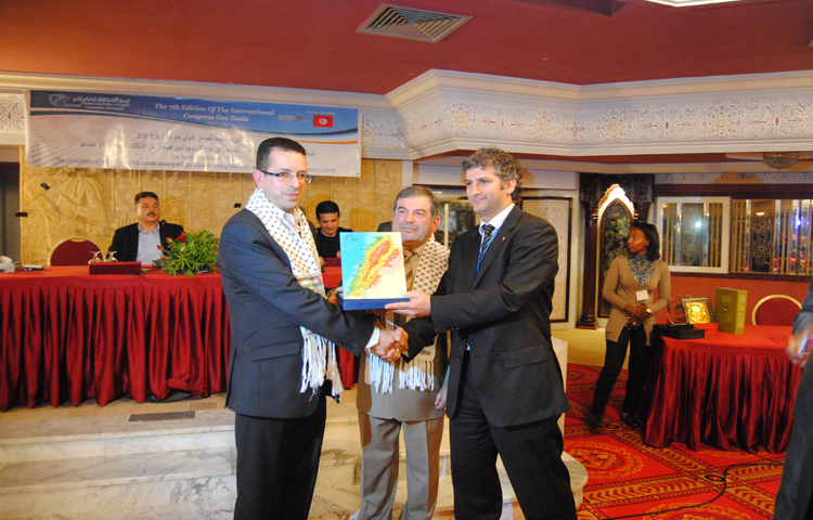
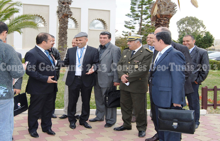
The 7th edition of the international congress Geotunis which was opened on April 8 closed its activities… .

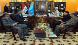
Regarding the importance of geographic information in the improving the security performance, the Tunisian… .

![]()
![]()