English
  Français
  العربية

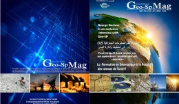
The publication of the first edition of GeoSP
The first edition of GeoSP was published in April. The edition includes several researches and good quality studies which was presented to international arbitration. The first edition includes an interview with the president of...