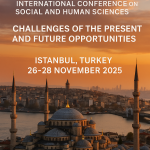
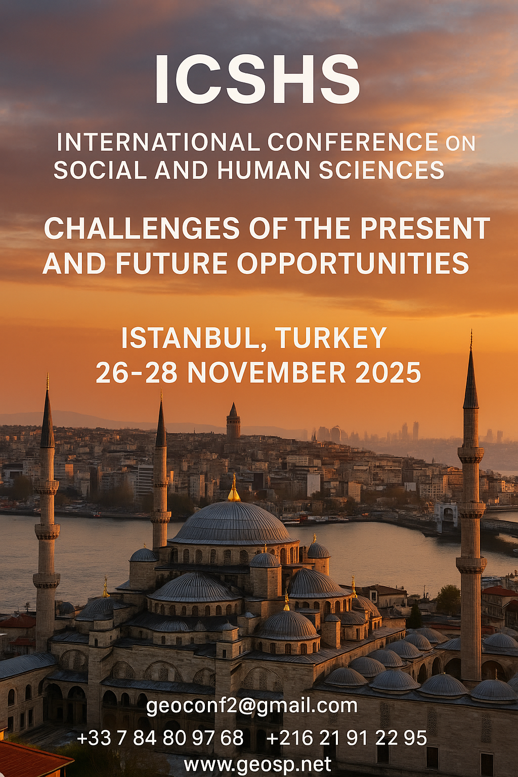
International Conference on Social and Human Sciences

  International Conference on Social and Human Sciences Istanbul, Turkey | November 26–28, 2025                                … .
International Conference on Social and Human Sciences International Conference on Social and Human Sciences

Precision Technologies Role in the Study of Climate Change Impact

The Second session of the International Symposium Precision Technologies Role in the Study of Climate… .
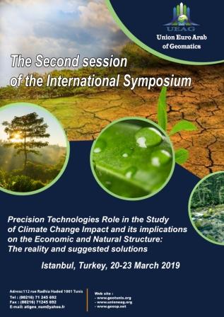
Precision Technologies Role in the Study of Climate Change Impact Precision Technologies Role in the Study of Climate Change Impact

5th International Conference on Water, Energy, Food and Agricultural Technology Istanbul, Turkey, 22-25 January 2019

5th International Conference on Water, Energy, Food and Agricultural Technology Istanbul, Turkey, 22-25… .
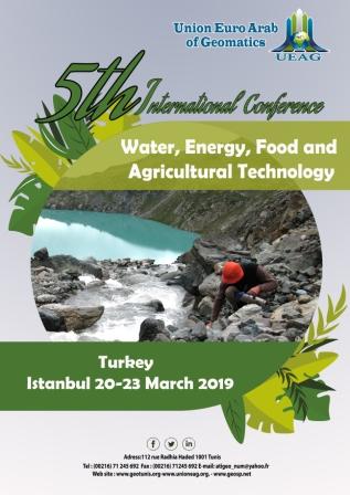

5th International Conference on Water, Energy, Food and Agricultural Technology Istanbul, Turkey, 22-25 January 2019 5th International Conference on Water, Energy, Food and Agricultural Technology Istanbul, Turkey, 22-25 January 2019

10th edition of the International Congress & technologies dedicated to geospatial applications

The Geographic Information Systems and Geospace Data for sustainable development            … .
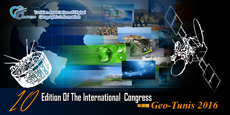
10th edition of the International Congress & technologies dedicated to geospatial applications 10th edition of the International Congress & technologies dedicated to geospatial applications

Information Technology Infrastructure Library

Information Technology Infrastructure Library ITIL Oldo-lina Foundation for the French East development… .


Information Technology Infrastructure Library Information Technology Infrastructure Library

WEAP’s new version is launched

WEAP (Water Evolution and Planning) has been looking for solutions to preserve fresh water and developing… .


WEAP’s new version is launched WEAP’s new version is launched

Signing a collaboration protocol between the Euro-Arab Union of Geomatics and the Arab Union of Survey

A collaboration protocol was signed on Wednesday morning May 15,2013 inthe Euro-Arab Union of geomatics… .
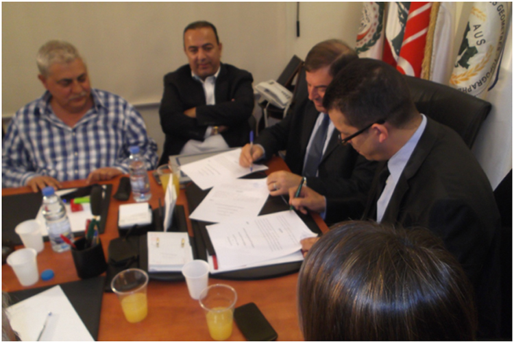
Signing a collaboration protocol between the Euro-Arab Union of Geomatics and the Arab Union of Survey Signing a collaboration protocol between the Euro-Arab Union of Geomatics and the Arab Union of Survey

7th edition of Geotunis closes its activities and announces its recommendations

The 7th edition of the international congress Geotunis which was opened on April 8 closed its activities… .
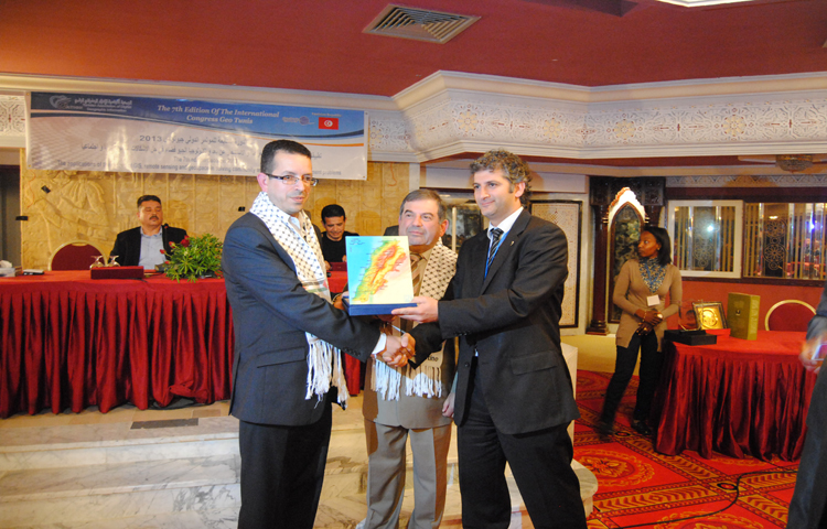
7th edition of Geotunis closes its activities and announces its recommendations 7th edition of Geotunis closes its activities and announces its recommendations
Advertisement


Untitled-1

Interview with George Gartner

The editing committee of GeoSP has interviewed Mr. George Gartner president of ICA and the international academic researcher about the role of ICA in supporting scientific research and young researchers. Mr. Gartner expressed a...
by Lamouchi Helmi
0


DSC_01551

Minister of communication and Information Technologies opens the activities of the 7th edition of Geotunis

Dr. Monji Marzouk, Minister of communication and Information Technologies opened on Monday, April 8 2013 the activities of the 7th edition of the international congress geotunis held under the slogan: Through geographic infrast...
by Lamouchi Helmi
0


glacier-ERS1-2_1992-2011_L,0

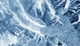
Clearest evidence yet of polar ice losses

30 November 2012 After two decades of satellite observations, an international team of experts brought together by ESA and NASA has produced the most accurate assessment of ice losses from Antarctica and Greenland to date. This...
by Lamouchi Helmi
0


Untitled-2

NASA Finds 2012 Sustained Long-Term Climate Warming Trend

NASA scientists say 2012 was the ninth warmest of any year since 1880, continuing a long-term trend of rising global temperatures. With the exception of 1998, the nine warmest years in the 132-year record all have occurred sinc...
by Lamouchi Helmi
0


1595_481137111962333_1750011374_n

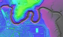
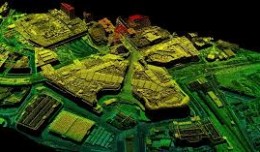
Bluesky’s LiDAR experts educate Mouchel’s water industry professionals

The Mouchel Urban Drainage Academy (MUDA) trains water industry professionals Aerial mapping company Bluesky is helping water industry professionals understand the potential of laser captured height models. Following a request ...
by Lamouchi Helmi
0


1320_effects-image

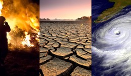
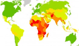
Precision Technologies Role in the Study of Climate Change Impact

The Second session of the International Symposium Precision Technologies Role in the Study of Climate Change Impact and its implications on the Economic and Natural Structure: The reality and suggested solutions Istanbul, Turke...
by Lamouchi Helmi
0


images

PCI Geomatics Software Supports KOMPSAT-3 Sensor

RICHMOND HILL, Ontario, Canada, May 03, 2013 – PCI Geomatics, a world-leading developer of remote sensing and photogrammetric software and systems, announced today that it now supports KOMPSAT-3 imagery within its softwa...
by Lamouchi Helmi
0


magn

Measuring earth’s vital magnetic field

 
by Geo-SP
0


geotunis-2016-banniere

10th edition of the International Congress & technologies dedicated to geospatial applications

The Geographic Information Systems and Geospace Data for sustainable development                              Under the slogan                                    Role of GIS appl...
by Lamouchi Helmi
0


sig_

Geographic information system

Geographic information system (GIS) is a system designed to capture, store, manipulate, analyze, manage, and present all types of geographical data. The acronym GIS is sometimes used for geographical information science or geos...
by Geo-SP
0


FORMATION-11-BD

Information Technology Infrastructure Library

Information Technology Infrastructure Library ITIL Oldo-lina Foundation for the French East development in collaboration with the Euro-Arab union Geomatics organizes training for IT Service Management ITIL V3 Will be held in Ly...
by Lamouchi Helmi
0


697599main_IMG_6551_1600_1600-1200

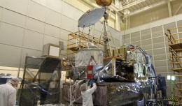
NASA’s GPM Observatory Completes First Dry Run

        NASA’s Global Precipitation Measurement (GPM) Core Observatory satellite went through its first complete comprehensive performance test (CPT), beginning on Oct. 4, 2012 at NASA’s Goddard ...
by Lamouchi Helmi
0